Pull into the main lot on Broad River Road on a Saturday morning and the first thing you'll notice is that you can actually find a spot. That never used to be true. For years, regulars at Harbison State Forest showed up before 8 a.m. or accepted that they'd circle the gravel a few extra minutes before giving up and parking along the shoulder. The lot that used to fill by mid-morning has been rebuilt to roughly double its old capacity, and the Friends of Harbison State Forest marked the finished project with a grand opening on April 23, 2026.
That's the small, visible piece of something bigger. If your mental map of this forest is more than a year or two old, it's wrong in ways that matter for how you plan a run, a ride, or a Saturday with the dog. The trails have moved. The land itself is about to get bigger, though not yet rideable. And the calendar event that brings the whole trail community together each fall is still on, still free, and still worth putting on your kitchen calendar now rather than in October.
Your GPS app is behind the trail crews
Ask anyone who's ridden the Spider Woman Trail lately and you'll get a version of the same complaint: the route on their phone doesn't match the route on the ground. A quarter-mile section that used to connect to Midlands Mountain Trail from two different points now only connects from one. The other was closed and rerouted, and most trail-mapping apps still show the old configuration. If you've been navigating by muscle memory and a five-year-old screenshot, you'll hit a dead end that used to be a shortcut.
Lost Creek Trail went through its own overhaul. The Friends of Harbison State Forest completed a reroute of the trail during the second quarter of 2025, adding new kiosks and signage to help first-timers and regulars alike find their way through what's widely considered the toughest mileage in the system. At 4.6 miles and roughly 580 feet of elevation gain, Lost Creek is the longest trail here and the one locals point to when they want a real workout rather than a stroll. The reroute didn't shorten it. It changed where it goes.
For context on the rest of the system: Firebreak Trail remains the workhorse, a 4.4-mile loop that almost every other trail in the forest ties into at some point, which is why it's the one most people run when they only have an hour. Eagle Trail is the easier on-ramp for anyone building confidence on a mountain bike. Crooked Pine Trail carries nine educational signs past a restored sawmill site and a vernal pond, which makes it the one worth walking slowly with kids. None of that has changed. What's changed is the connective tissue between them, and that's exactly the kind of detail that doesn't show up in a generic "best trails near Columbia" roundup.
The forest is growing, but the new acres aren't open yet
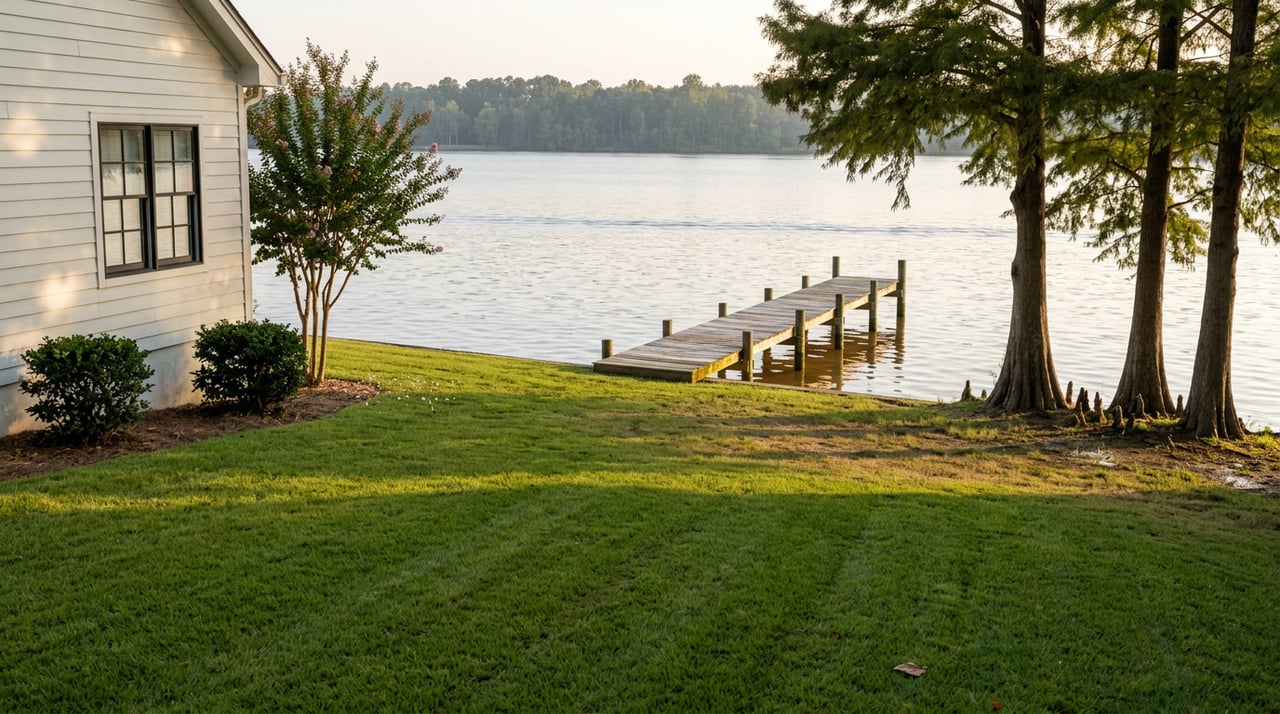
The bigger story is happening just off Lost Creek Drive, on 71 acres that sit outside the current forest boundary. That land was clear-cut back in 2017 and left to regenerate on its own. Now the South Carolina Forestry Commission and the nonprofit Congaree Land Trust are working together to buy it, an effort they've named the Lost Creek Project, with the goal of folding it into Harbison State Forest and eventually extending the trail system onto it.
The numbers behind that deal are specific enough to be worth knowing if you're the kind of person who likes to understand how a project like this actually gets funded. The land is under contract for $1,433,000. Part of the money is expected to come from the Forestry Commission's shared timber sales fund, which pools revenue from pine straw and timber harvested across all five of South Carolina's state forests. The Commission has earmarked $20,000 of that fund toward this specific purchase.
"It's going to need some significant management work done before they can even start thinking about putting new trails on it," Stuart White, executive director of the Congaree Land Trust, said of the property.
That quote is the detail most trail regulars miss. This isn't a ribbon-cutting on new singletrack. It's a land deal that, once closed, buys the forest room to grow years down the road. As of this reporting, that acquisition is expected to close by the end of 2026, but the trail-building comes after, not alongside it. If you're hoping to ride or hike the new acreage this season, you won't be able to. What you're watching instead is the slow, unglamorous first step, the kind that rarely makes it into a listicle because there's no finished trailhead to photograph yet.
Here's how the current forest measures up while that expansion works its way through contracts and cleanup:
| Today | |
|---|---|
| Forest size | 2,176 acres |
| Trail mileage | 18 miles, per the South Carolina Forestry Commission |
| Parking fee | $5 daily, $25 annual pass |
| Interior gate hours | 9 a.m. to 4:30 p.m., Saturdays and Sundays |
| Pending expansion | 71 acres under contract, expected to close by end of 2026 |
The one weekend every trail runner already has circled
None of this touches the event that's been drawing the same crowd back every fall since 2013. The Hairy Bison 15k/30k is put on by the Harbison Trail Runners each year on the Saturday before Thanksgiving, which lands around November 21 this year. It's free to run, timed only for bragging rights between whoever finishes first male and female, and built entirely around inside jokes that only make sense once you've been. Runners get a custom bib designed just for that year's theme, they don't get to pick which one, and finishing a loop earns you a buffalo nickel that goes toward a raffle stocked with prizes from local vendors. Loop finishers have also historically walked away with a coupon for a beer or an appetizer discount at The British Bulldog Pub on St. Andrews Road, which has supported the race for years as an informal packet pickup and post-race gathering spot.
If you've lived near this forest for a while, you've probably heard someone mention the Hairy Bison without fully understanding what it is. It isn't a race in the traditional sense. It's closer to the forest's own homecoming, and it's the one weekend when the parking lot renovation, the Lost Creek reroute, and the years of volunteer trail work all get used at once by a crowd that already knows every root and creek crossing by name.
What this actually means if you live here
Put the pieces together and the pattern is clear. Nothing about Harbison State Forest has been marketed as a big transformation, because none of it happened all at once. A parking lot got wider. A trail got rerouted around a washed-out section. A land trust started negotiating for acreage that won't see a single new trail marker until the cleanup work is done. Individually, these are footnotes. Together, they mean the forest you learned five or ten years ago is already a slightly different place than the one on the ground today, and it's going to keep changing through the rest of this year.
That's worth knowing whether you're planning next Saturday's run or just trying to keep your bearings on a trail you thought you had memorized. It's also the kind of granular, on-the-ground shift that reflects what living in St. Andrews and Harbison actually feels like day to day, not a snapshot pulled from a listing description.
If you're settled in and just wanted the update, that's the whole point of this post. But if watching a neighborhood amenity like this grow has you thinking about what your own property here is worth in today's market, Phillip Jenkins has spent more than three decades tracking exactly these kinds of shifts across Northwest Columbia. Request your free home valuation whenever you're ready to talk specifics, no pressure, no timeline required.